BNN Summary
Maps serve as vital tools reflecting human culture, political strategy, environmental changes, and geographic exploration. Recent trends highlight how maps transcend traditional navigation, influencing political discourse, emergency preparedness for severe weather, and the discovery of unique urban recreational frontiers.
In-Depth Analysis
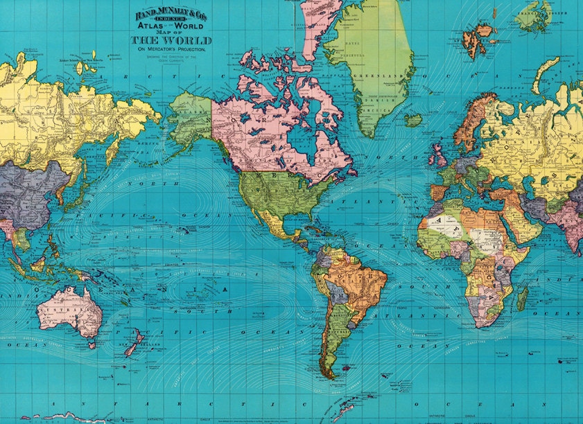
Maps have long served as fundamental tools for understanding the world, but their utility extends far beyond simple navigation. In contemporary society, maps act as dynamic mirrors reflecting political maneuvers, environmental challenges, and the evolving ways humans interact with their geographic surroundings. From high-stakes political strategy sessions to real-time meteorological tracking and the pioneering of extreme urban sports, maps continue to shape how individuals perceive and navigate reality.
The Power of Cartography in Political Discourse
Cartography has never been a purely neutral or objective science. Throughout history, maps have been weaponized, manipulated, and interpreted to advance specific political agendas. The concept of 'map wars' highlights how territorial representations, redistricting efforts, and geopolitical boundaries are fiercely contested. When political entities redefine borders or present alternative geographical narratives, public perception is deliberately shaped. These visual arguments can influence elections, alter diplomatic relations, and cement ideological strongholds. Understanding the subtext behind political maps requires critical analysis, as every boundary line drawn represents a deliberate choice that empowers certain groups while marginalizing others.
Tracking Nature's Fury: Meteorological Mapping
Beyond politics, maps play a critical, life-saving role in monitoring natural phenomena. During severe weather events, such as the Atlantic hurricane season, meteorological maps become the focal point for millions of residents, emergency responders, and government officials. Advanced tracking tools visualize critical data points, including projected storm cones, wind speeds, barometric pressures, and sea surface temperatures. These complex visual representations allow meteorologists to forecast landfall trajectories with increasing accuracy. However, translating complex meteorological data into accessible maps for the general public is a delicate balance. Clear communication of uncertainty, evacuation zones, and potential storm surges can mean the difference between widespread catastrophe and orderly community safety.
Redefining Urban Landscapes Through Adventure
Maps also capture the cultural evolution of cities, documenting how citizens reclaim and reinvent urban spaces. In metropolitan areas like the Twin Cities of Minneapolis and St. Paul, adventurous communities are literally putting their local geography 'on the map' through unconventional means. Extreme urban exploration, such as high-adrenaline urban diving from historical bridges crossing the Mississippi River, transforms ordinary civic infrastructure into playgrounds for thrill-seekers. These activities challenge conventional zoning and municipal use of space, creating subcultures that view city maps not as rigid blueprints, but as canvases for adventure.
Conclusion
Ultimately, maps are powerful cultural artifacts. Whether they are deployed in political battlegrounds, utilized to track destructive natural disasters, or expanded through extreme urban recreation, maps dictate the boundaries of human experience. As technology advances and spatial data becomes increasingly democratized, the ways in which humanity creates, interprets, and alters maps will continue to evolve, proving that geography is not merely a static science, but a living, breathing reflection of human ambition.
How do you feel about this story?
Discussion
No comments yet. Be the first to share your thoughts.
Join the discussion
Sign in to share your thoughts on this story.